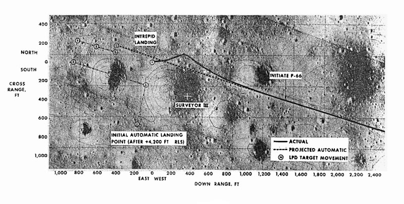
Above is a map of the approach path of Intrepid
during the landing. East is to the right in this picture.
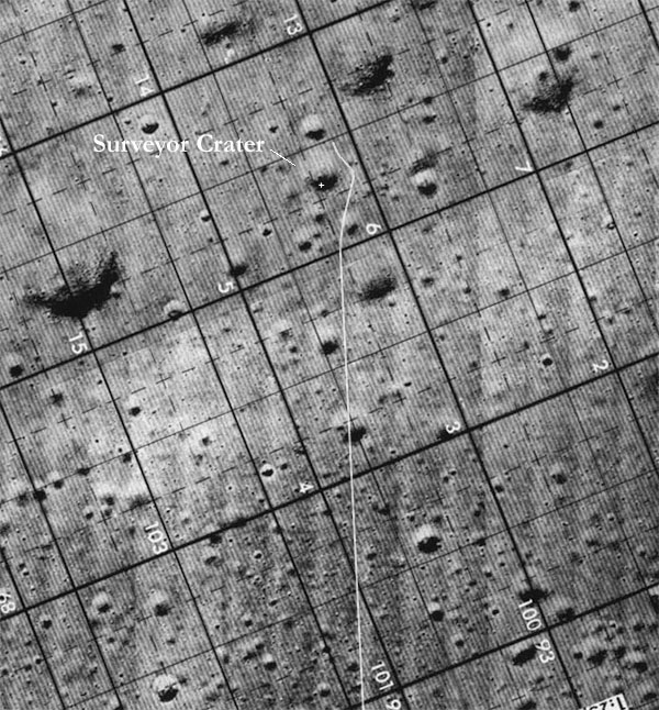
This is a map of the Apollo 12 landing area, also showing the approach
path and the location of Surveyor III. Below are some stills from
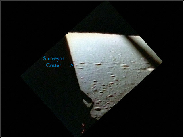
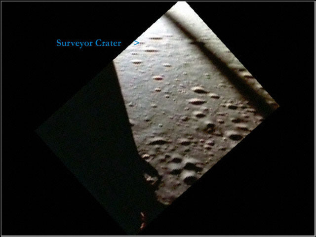
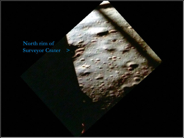
the
video indicating the location of Surveyor Crater. Apollo 12 approached
from the East (lower, center portion of map) and landed
just to the northwest of Surveyor Crater. North is to the right
on this map, all of the below stills, and in the video.